

announcement

The Department of Geology and Geophysics invites faculty members, staff, and postgraduate…
introduction/brief CV
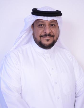
As a full Professor of Hydrogeology and Remote Sensing at King Saud University, I bring over two decades of expertise in geosciences, environmental sustainability, and advanced spatial technologies. My research integrates remote sensing, GIS, and artificial intelligence to address critical challenges such as groundwater mapping, landslide prediction, flood risk assessment, and contamination monitoring in arid environments. Recognised among the World’s Top 2% Scientists by Stanford University (2023, 2024 & 2025), I have authored about 70 peer-reviewed publications that apply satellite data to real-world environmental and resource management problems.
In addition to my research, I have served as Head of the Geology and Geophysics Department and Vice Dean for Academic Affairs at King Saud University, demonstrating strong leadership in academic governance and strategic program development. I also gained valuable international experience through four years at the Saudi Arabian Cultural Bureau in the United Kingdom.
areas of expertise
- Hydrogeology and arid-region groundwater systems
- Hydrochemistry, groundwater quality, and water–rock interaction
- Remote sensing, GIS, and spatial modelling
- Groundwater-potential assessment and multi-criteria analysis
- Environmental contamination and ecological and human-health risk assessment
- Agricultural-soil quality and potentially toxic elements
- Flood and landslide susceptibility assessment
publications
see all

Urban flooding poses a significant problem in arid regions, where unusual rainfall events can lead to disastrous consequences. This study used geographic information systems (GIS) to identify and…
Groundwater is a critical resource in arid regions such as Khamis Mushayt, located in southwestern Saudi Arabia, where surface water availability is limited.
This study employs Geographic Information Systems (GIS) combined with multivariate statistical techniques to evaluate soil contamination at two landfill sites in Al-Kharj, Saudi Arabia.
courses
see all

معسكر صيفي لمدة 45 يوما للتدريب الحقلي شاملاً: العلاقات الحقلية للصخور النارية و المتحولة – عمل القطاعات الطبقية – قياس التراكيب الجيولوجية – استخدام انظمة تحديد المواقع العالمية – عمل…
العوامل الجيولوجية المؤثرة على البيئة - تلوث الهواء والماء والتربة - التخلص من النفايات المشعة – الأخطار الجيولوجية تشتمل على: الزلازل والبراكين والفيضانات وانجراف التربة والانهيارات…
اسس الاستشعار عن بعد - الطيف الكهرومغناطيسي - انواع المجسات والمواسح - التقاط المعلومات الأولية ومعالجتها -التصحيح…
office hours
| Saturday | Sunday | Monday | Tuesday | Wednesday | Thursday | Friday | |
|---|---|---|---|---|---|---|---|
| from | _ | 10:00 AM | _ | 10:00 AM | _ | 10:38 AM | _ |
| to | _ | 11:59 AM | _ | 11:59 PM | _ | 11:59 PM | _ |
| location | _ | 2ب 138 2ب 138 | _ | 2ب 138 2ب 138 | _ | 2ب 138 2ب 138 | _ |